Aerial imagery procurement
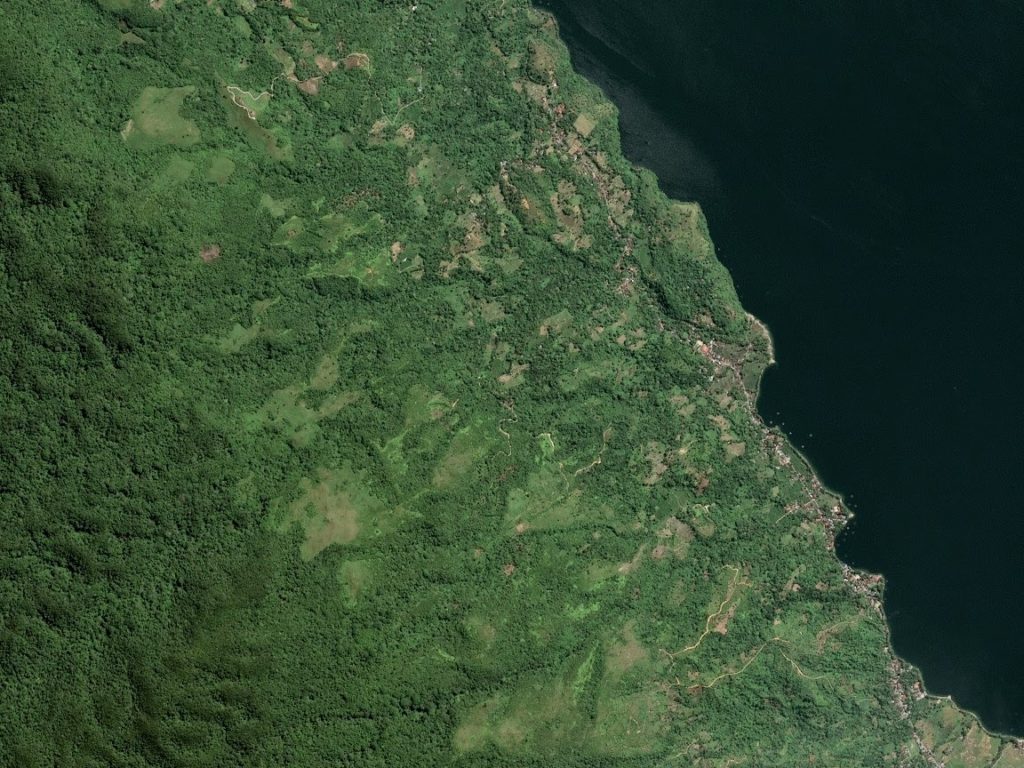
Aerial imagery for forest mapping and monitoring. Find cost-effective data source that meet your information requirments.


What data do I need?
If you do not work daily with remote sensing and GIS, the vast amount of data sources, specifications, and potential analysis can be overwhelming. The following questions help to specify your information requirements.
1. Domain
2. Scale
3. Frequency
4. Resolution
5. Costs
The right data source and analysis
We help to select the right data source and conduct the necessary analysis.
Procurement
Processing
Provision
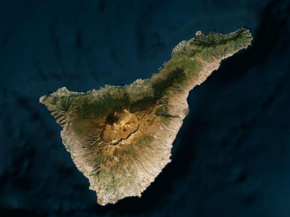
50 cm high-resolution multi-spectral satellite imagery for detailed forest mapping.
Pléiades
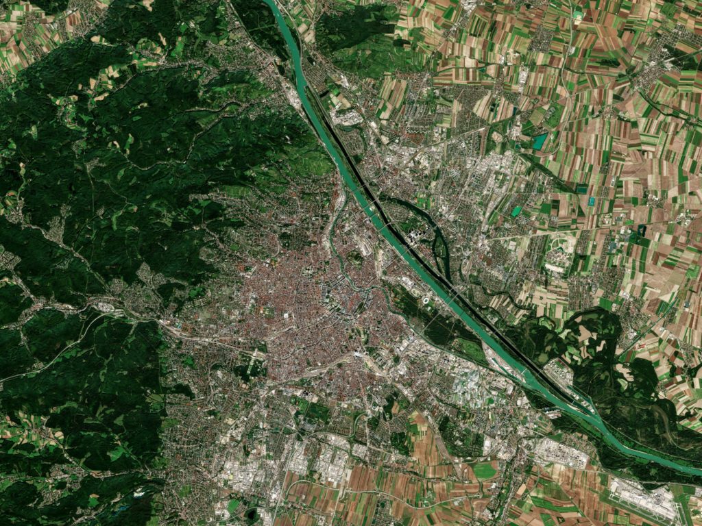
10-meter hyperspectral imagery with weekly revisit for large-scale change-detection monitoring.
Sentinel 2
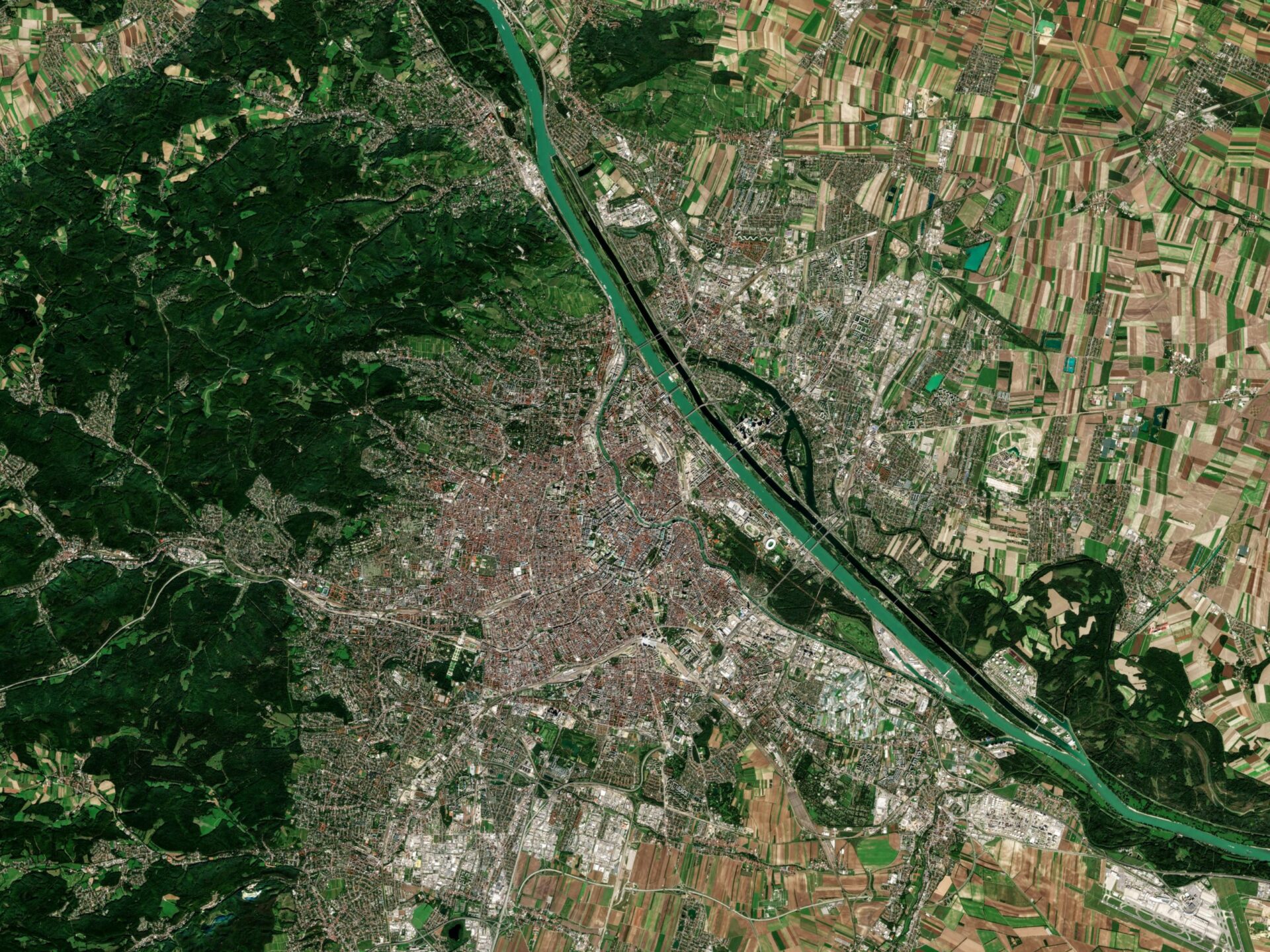
1.5-meter resolution multispectral satellite imagery for forest classification mapping.
SPOT 6 / 7
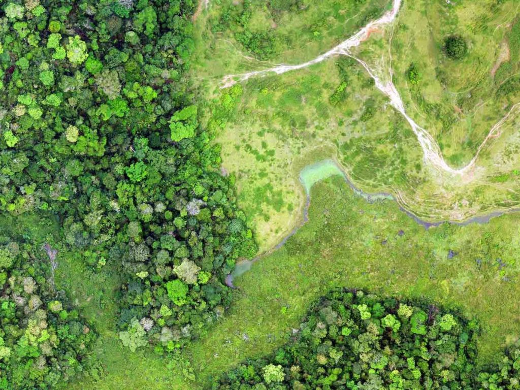
Processing of your drone imagery into orthophotos and 3D models for forest management maps.
Drone Imagery
The imagery your project needs
The information requirements define the data source. We procure satellite imagery from various sensors such as Pleiades, SkySat, TripleSat Constellation, KOMPSAT-2-3-3A, SPOT 6/7, Sentinel 1-2, and Landsat.
Cost structure
The following table is an example of our cost structure for Pléiades and SPOT satellite imagery.
Satellite sensor | Hectare
Pléiades (50 cm)
High-resolution multi-spectral satellite imagery for detailed forest mapping.
SPOT 6 / 7 (1.5 m)
Cost efficient high-resolution multi-spectral satellite imagery for forest classification mapping.
Frequently Asked Questions
Every case requires an understanding of the information requirements. For some cases open data sets such as Landsat, Sentinel, etc. are sufficient. For other cases, it is required to obtain high-resolution commercial data sets.
If satellite imagery from the archive is procured the process takes 1 - 3 days. For the case of targeting new satellite imagery, this can take a few days up to a few weeks, as for some regions it is difficult to procure cloud-free imagery.
Satellite imagery is usually provided as GeoTiff or GeoJPG.