Create projects
Consolidate project data and content. Display news and photos on top of interactive, high-resolution maps.
3 steps: How to create your project presentation
This 1-minute video will guide you through the very simple process of building a map-based project presentation.
Project presentation elements
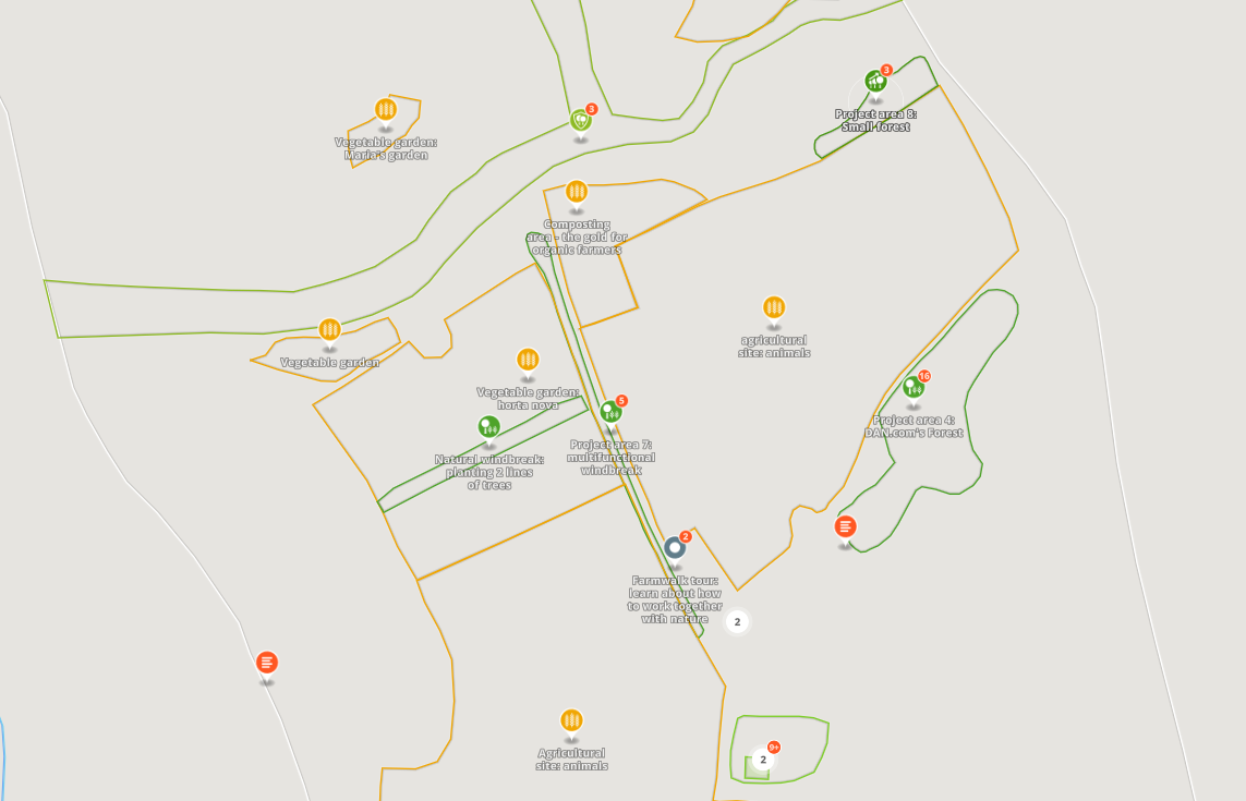
Build a map-based project presentation in minutes without the need of programming. Show all important places, e.g., nurseries, reforestation and conservation areas.
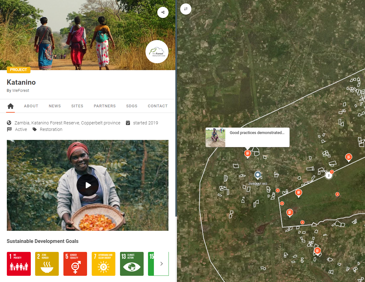
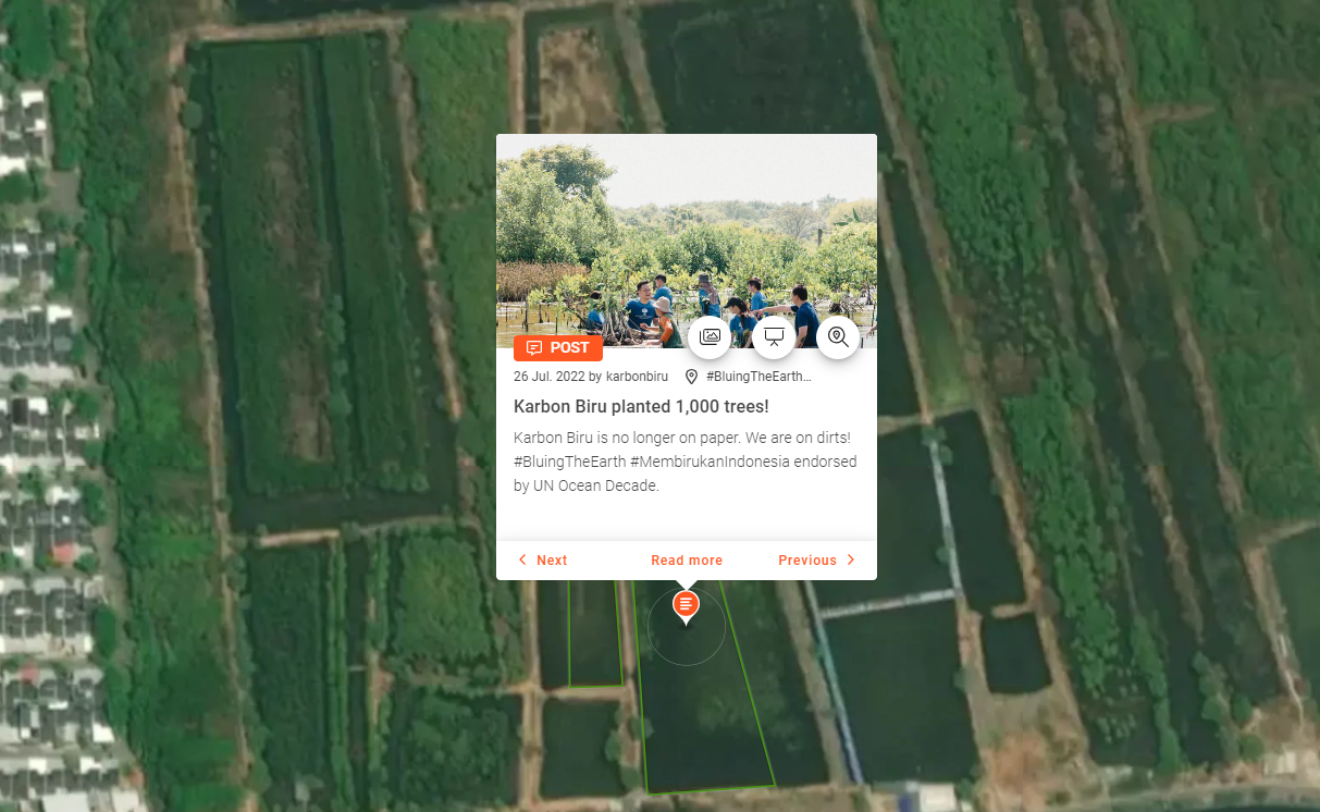
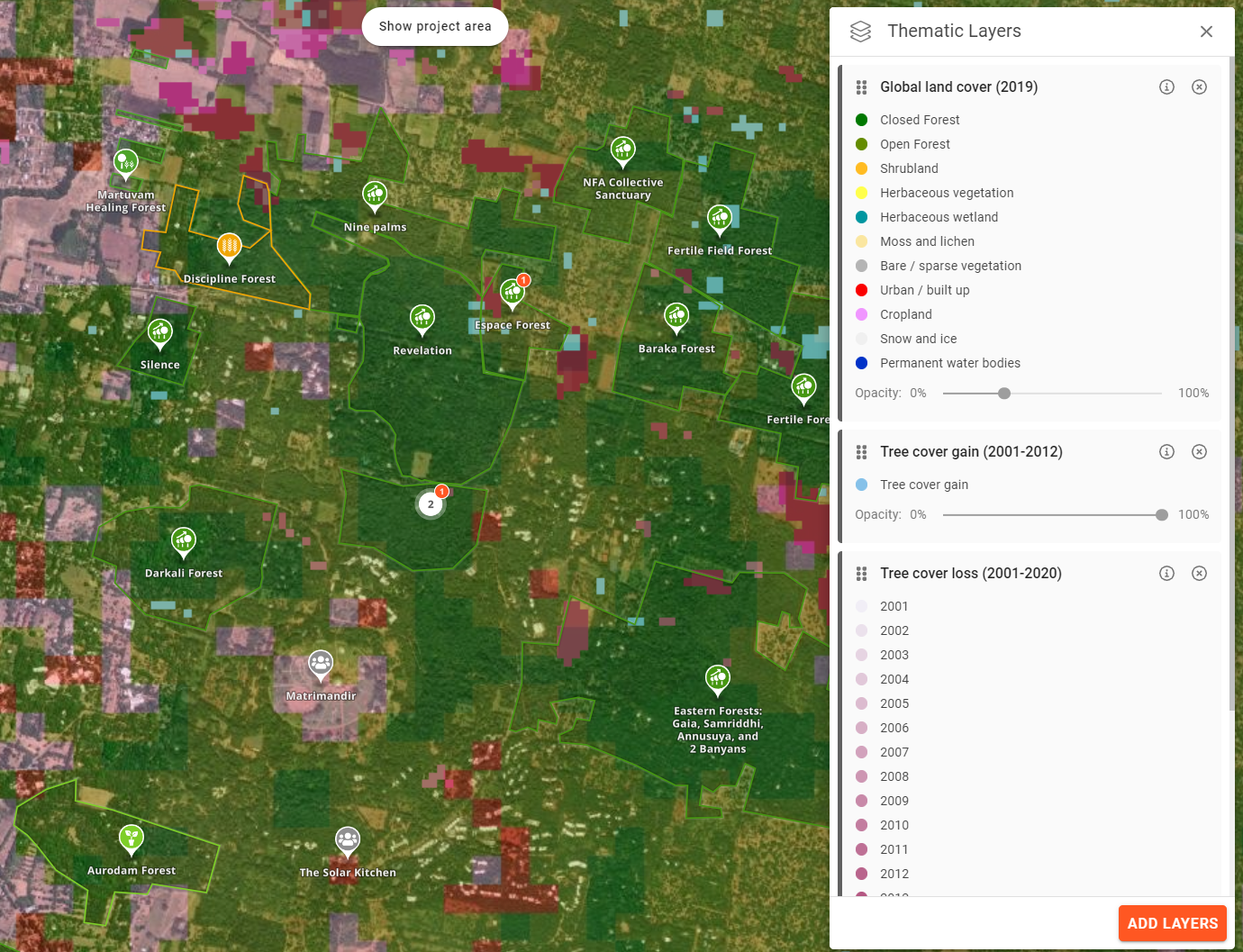
Explorer.land is a map-based platform showcasing restoration and conservation initiatives in a transparent yet engaging way. Restoration and conservation initiatives use explorer.land to document and display their progress via interactive maps and geo-located content (e.g., news posts and photos). Functions such as the call-to-action button facilitate immediate engagement with supporters. Funders, purpose-driven businesses, and buyers of forest goods and services use the platform to find interesting projects to support and collaborate with. The interactive home page, which includes different search possibilities, allows for easy navigation and filtering of projects according to criteria. Thematic global data layers, 3D views, and the integration of high-resolution drone or satellite imagery support transparency, engagement, and immersion in an initiative’s context and impact.
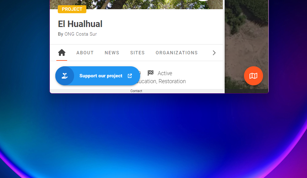
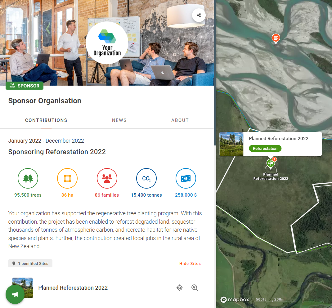
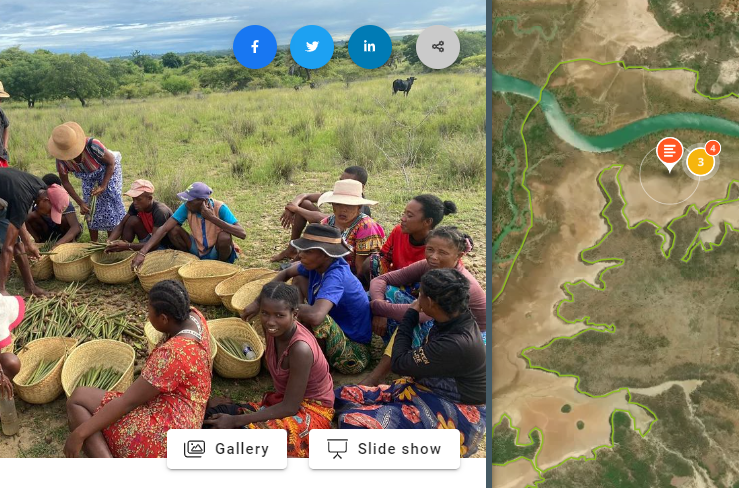
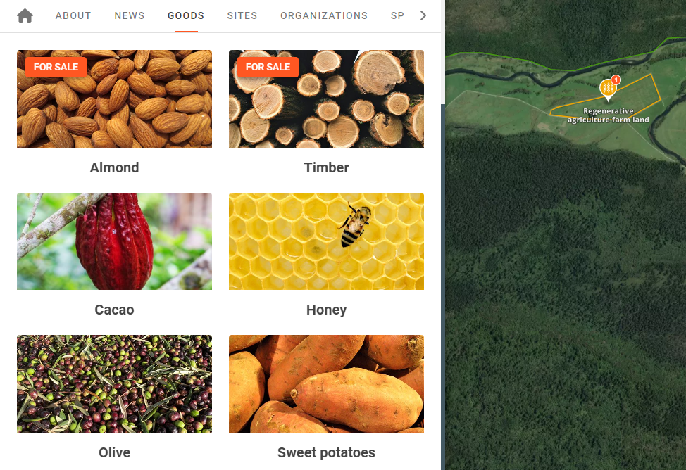
Map-based project presentations include key facts such as project type (e.g., reforestation, agroforestry), location of sites, important dates (e.g., start date), status, and other descriptors. Geo-located news posts and photos can link to different site locations. Content is structured via the tabs menu: Home, About, News, Sites, Partners, Sponsors, SDGs, Goods, Contact. All involved stakeholder groups (e.g., partners, sponsors) can also be linked to specific site locations.
Users can select from a variety of satellite base maps such as Mapbox, Esri, and Bing. We integrate third party thematic global data layers provided by Global Resources Watch (e.g., forest cover), GLOBIL (drone maps), TerraPulse (forest cover, biomass). We are continuously adding new thematic data layers so do check out our library often.
For projects:
- Manage info & communicate story
- Immerse audience with 3D views
- Integrate high-resolution geo images
- Demonstrate transparency
- Gain visibility: potential supporters find you
- Promote forest goods & services
For funders & supporters
- Find projects with search criteria
- Explore transparent projects
- Engage directly
- Add your organizational profile
- Communicate your support
- Grow the restoration movement
No! explorer.land has been designed for non-GIS experts. We have put a lot of effort into an intuitive user design. Should you have any additional questions, don't hesitate to contact us.
Projects published and listed on explorer.land increase their visibility and are easily found by funders. Visibility can be increased by using the social sharing function and the call-to-action button to guide the prospects to your fundraising materials.
Furthermore, the map-based project presentation serves as exciting and beautiful communication material, that allows for presenting remote projects in-depth during fundraising events or in one-to-one meetings and video calls.