Every project is different. We collaborate with specialized technology partners for enhancing the transparency, engagement, and immersive experiences of projects. Together we can determine the high-resolution data and multimedia best suited for your needs and integrate it into your explorer.land profile. We aspire to create a symbiotic network of partners that propels the restoration and conservation movement forward.
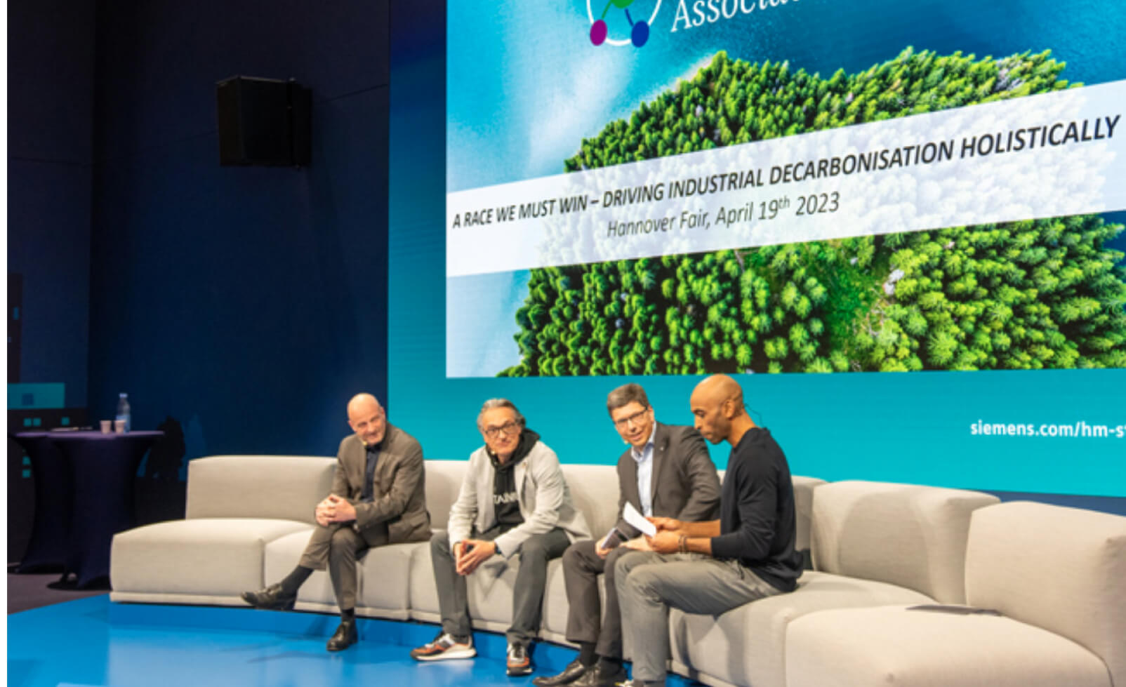
OpenForests is a proud member of the ESTAINIUM Association. ESTAINIUM leads a global movement for climate-positive supply chains, promoting transparency, collaboration, and innovation.
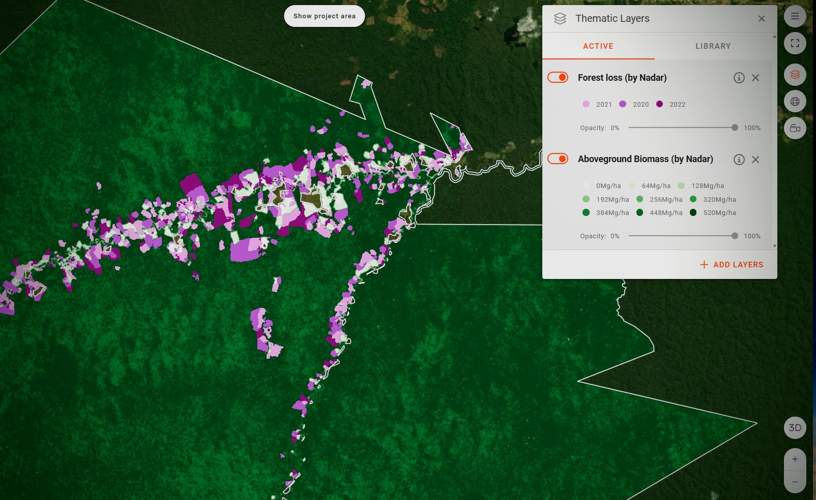
OpenForests is a proud member of the EMMA4EU project, an initiative co-funded by the European Commission’s Erasmus+ Programme aiming to tackle the issue of deforestation-driven climate change and biodiversity loss in tropical countries.
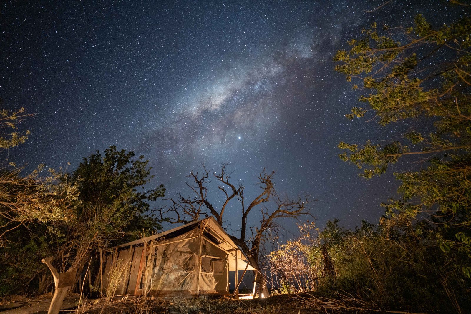
ReWild Africa is harnessing the power of film and photography to document and to bring unique stories to life to engage individuals and connect them with the missions of our projects.