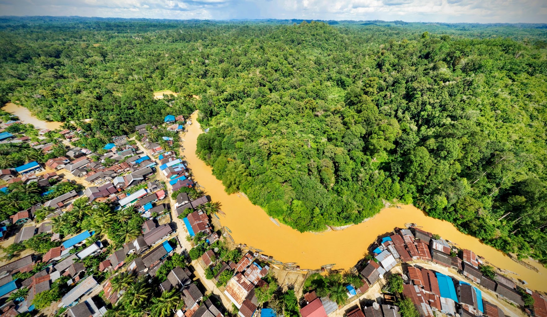
Drone-based aerial panoramas provide fascinating views
Drones have become an accessible tool for forest monitoring, but also to create breathtaking views on forest landscape projects. Especially 360° aerial panoramas can be captured with drones from various places and heights.
The following selection of aerial 360° panoramas have been created over the past years and different locations. Reach out to us if you want to integrate stunning aerial panoramas for your explorer.land project presentation.